








Drone Technology Services
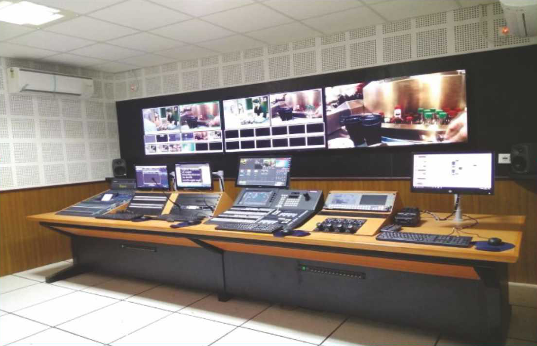
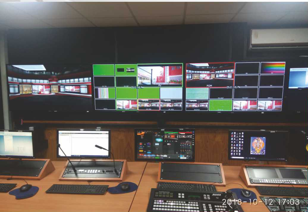
- Live Streaming of Drone Data to Command & Control Centres
- DTRAS (Drone Threat Rating Application System)
- AI Analytics of Civil Infrastructure
- One Integrated Drone-Tech Ecosystem
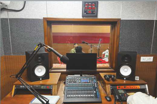
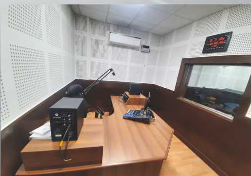
Live Streaming of Drone Data to Command & Control Centres
- Real-time HD video feed transmission from aerial drones with low latency.
- Integration with mobile and satellite networks for uninterrupted connectivity in remote locations.
- Multi-drone simultaneous streaming capability to centralized monitoring rooms.
- Integration with GIS layers for geo-tagged video visualization.
- Alert system linked with AI analytics for live incident detection (e.g., fire, unauthorized activity, crowd movement).
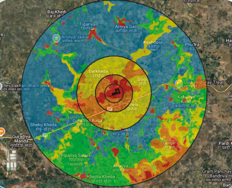
D-TRAS (Drone Threat Rating Application System)
- Geospatial Intelligence & AI-based system to assess vulnerability to drone threats.
- Generates color-coded threat maps to visualize high-risk zones around critical assets.
- Performs path analysis of potential drone intrusion routes.
- Recommends optimized deployment of anti-drone measures.
- Used for refineries, defence installations, data centres, and other high-value establishments.
AI Analytics of Civil Infrastructure
Railway Bridges:
- Detection of cracks, corrosion, misalignment, and structural fatigue.
- High-resolution imaging processed through computer vision models.
- Periodic inspection reports with priority-based maintenance alerts.
- Integration with GIS and BIM for asset lifecycle monitoring.
Power Transmission Lines:
- AI-based fault detection such as insulator damage, vegetation intrusion, line sag.
- Predictive maintenance using historical trend analysis and weather pattern integration.
- Reduction in manpower and time through autonomous aerial surveys.
- Enhances grid reliability by early identification of risk points.
One Integrated Drone-Tech Ecosystem
- Unified platform for Surveillance, Security, Infrastructure Monitoring, and Disaster Response.
- Powered by AI, GIS, Real-Time Data Streaming, and Threat Intelligence.
- Developed and operated under Make-in-India & Atmanirbhar Bharat Vision.